Transforming the Brahmaputra
21 May 2026
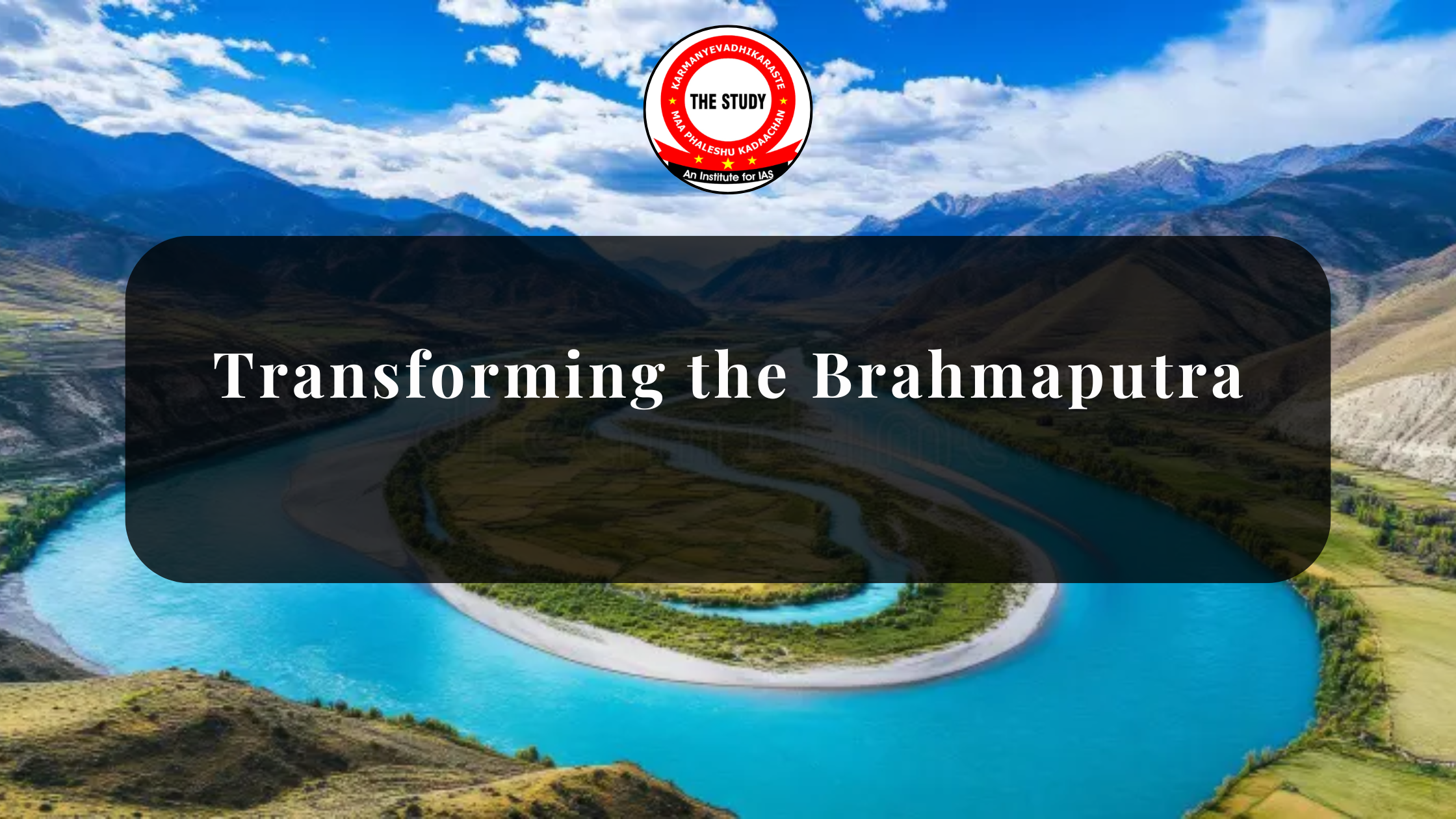
Transforming the Brahmaputra: India’s Vision for a Multi-Functional Economic Corridor
Context Behind the Brahmaputra Transformation
The Government of India is accelerating plans to transform the Brahmaputra River into a multi-functional economic corridor integrating inland waterways, logistics, tourism, trade, flood management, and scientific river governance. The initiative aligns with India’s larger vision of regional connectivity, multimodal infrastructure, and sustainable economic development in the Northeast.
The river, already designated as National Waterway-2 (NW-2), is emerging as a strategic backbone for the Northeastern region. Through the Indo-Bangladesh Protocol Route (IBPR), the Brahmaputra provides access to ports such as Kolkata and Haldia, reducing dependence on long and costly road transportation networks.
For UPSC aspirants, the Brahmaputra transformation is important from the perspective of Geography, Economy, Environment, Internal Security, Disaster Management, Infrastructure, and International Relations.
What Makes the Brahmaputra Strategically Important?
National Waterway-2 and Inland Connectivity
The Brahmaputra has been declared National Waterway-2 under the Inland Waterways Authority framework. It stretches across Assam and serves as a major inland navigation channel for the Northeast.
Importance of NW-2
- Connects Assam with mainland India through waterways.
- Links to Kolkata and Haldia ports via Bangladesh.
- Provides an alternative logistics route to congested highways and railways.
- Enhances strategic connectivity in border regions.
The river therefore acts not merely as a geographical feature but as a strategic transport corridor.
Role in India’s Act East Policy
The transformation of the Brahmaputra supports India’s Act East Policy by strengthening connectivity with Bangladesh and Southeast Asia.
Strategic Advantages
- Expands regional trade opportunities.
- Deepens India-Bangladesh cooperation.
- Enhances Northeast integration with ASEAN markets.
- Improves geopolitical outreach in the Bay of Bengal region.
Improved river navigation can position the Northeast as a gateway to Southeast Asia rather than a peripheral region.
Economic Significance of the Brahmaputra Corridor
Reducing Logistics Costs
Inland waterways are among the cheapest modes of transportation globally. Water transport consumes less fuel per tonne-kilometre compared to road and rail transport.
Economic Benefits
- Lower freight transportation costs.
- Reduced pressure on highways.
- Lower greenhouse gas emissions.
- Increased efficiency in bulk cargo movement.
Industries dealing in coal, cement, food grains, tea, petroleum products, and fertilizers can particularly benefit from river transport.
Boosting Regional Development
The Brahmaputra corridor can stimulate industrial and commercial activity across Assam and the Northeast.
Potential Growth Sectors
- Agro-processing industries
- Tea exports
- Fisheries
- Tourism
- Warehousing and logistics
- Shipbuilding and repair
Infrastructure projects such as terminals, community jetties, and cargo handling facilities can generate large-scale employment.
Tourism and Cruise Economy
River tourism is another major component of the Brahmaputra vision.
Tourism Potential
- River cruises
- Eco-tourism
- Cultural tourism
- Wildlife tourism around Kaziranga and Majuli
Tourism development can create livelihood opportunities for local communities while showcasing the ecological and cultural richness of the Northeast.
Multimodal Connectivity and Infrastructure Development
Integration with Rail, Road, and Ports
The Brahmaputra corridor is envisioned as part of a larger multimodal transport network.
Key Nodes
- Pandu Port
- Dhubri Terminal
- Jogighopa Multimodal Logistics Park
These nodes can integrate waterways with highways, railways, and seaports to create seamless supply chains.
Last-Mile Connectivity
Community jetties and feeder routes are crucial for improving rural accessibility in riverine regions.
Benefits for Local Communities
- Better access to markets
- Improved mobility
- Lower transportation costs
- Enhanced emergency evacuation during floods
This strengthens inclusive development in remote riverine areas.
Environmental Challenges and Ecological Concerns
Fragile River Ecology
The Brahmaputra is one of the world’s most dynamic rivers with high sediment load, changing channels, and fragile floodplain ecosystems.
Large-scale interventions such as dredging, embankments, and terminal construction can disturb ecological balance.
Major Environmental Concerns
- Habitat destruction
- Threat to fish biodiversity
- Wetland degradation
- Riverbank erosion
- Disturbance to floodplain ecology
Need for Integrated River Basin Management
Experts argue that the Brahmaputra cannot be managed through isolated engineering solutions.
Scientific Approaches Required
- GIS-based mapping
- LiDAR surveys
- Hydrological modelling
- Real-time river monitoring
- Climate adaptation planning
Integrated basin management is essential to balance navigation, flood control, and ecological sustainability.
Flood Control and Erosion Management
Recurrent Floods in Assam
The Brahmaputra is notorious for annual floods and severe erosion, especially in Assam.
Impacts of Floods
- Loss of life and property
- Agricultural damage
- Displacement of communities
- Destruction of infrastructure
Modern River Management Solutions
The transformation plan includes scientific river management measures.
Proposed Interventions
- Smart dredging
- Embankment strengthening
- Early warning systems
- Riverbank protection
- Community disaster preparedness
If implemented properly, these measures can improve resilience against climate-induced disasters.
Technology and Institutional Modernisation
Data-Driven Governance
Modern river management increasingly depends on digital technologies and scientific monitoring.
Technological Tools
- Satellite imagery
- Digital river-bed surveys
- Real-time hydrological data
- AI-based flood prediction systems
This can improve decision-making by agencies like the Brahmaputra Board.
Research and Capacity Building
Institutions such as NEHARI and proposed Regional Centres of Excellence can strengthen local technical expertise.
Importance of Research Institutions
- Hydrological studies
- Climate adaptation research
- Sediment management
- River ecology conservation
Long-term sustainability depends heavily on scientific knowledge generation.
Geostrategic and Security Importance
Strategic Importance of the Northeast
The Northeast shares international borders with several countries, making connectivity strategically vital.
The Brahmaputra corridor can strengthen:
- Supply chain resilience
- Border region development
- Internal security logistics
- National integration
India-Bangladesh Cooperation
The Indo-Bangladesh Protocol Route is central to the success of the Brahmaputra corridor.
Importance of Bilateral Cooperation
- Transit and trade facilitation
- Joint water management
- Navigation agreements
- Regional economic integration
Strong diplomatic coordination will remain essential for long-term operational success.
Social Development and Inclusive Growth
Improving Access to Essential Services
Enhanced river connectivity can significantly improve access to:
- Healthcare
- Education
- Markets
- Public services
This is particularly important in isolated riverine communities.
MSMEs and Local Livelihoods
River-based economic activity can support local entrepreneurship.
Beneficiaries
- Fisherfolk
- Small traders
- Tourism operators
- Boat operators
- Artisans and local businesses
Inclusive planning is necessary to ensure that development benefits are equitably distributed.
Key Takeaways
- Brahmaputra is National Waterway-2.
- It supports India’s Act East Policy.
- Inland waterways reduce logistics costs and emissions.
- Multimodal connectivity is central to corridor development.
- Environmental sustainability remains a major challenge.
- Flood management and erosion control are critical concerns.
- India-Bangladesh cooperation is strategically important.
- Scientific river basin management is essential for long-term success.
Conclusion
The transformation of the Brahmaputra into a multi-functional economic corridor represents one of India’s most ambitious regional connectivity and river management initiatives. If implemented effectively, it can reshape the economic geography of the Northeast by improving trade, reducing logistics costs, strengthening strategic connectivity, and promoting inclusive growth.
However, the success of this initiative will depend on balancing development with ecological sustainability. The Brahmaputra is not merely a transport channel; it is a complex and dynamic ecological system supporting millions of livelihoods. Therefore, India’s approach must combine infrastructure expansion with scientific river governance, regional cooperation, climate resilience, and community participation.
For UPSC aspirants, the issue offers a multidimensional case study connecting infrastructure, environment, economy, disaster management, federal governance, and international relations.
FAQs On Brahmaputra River
Why is the Brahmaputra River strategically important for India?
The Brahmaputra is strategically important because it connects the Northeast with mainland India and Bangladesh through inland waterways, supporting trade, logistics, and regional integration.
What is National Waterway-2?
National Waterway-2 refers to the Brahmaputra River stretch declared as an inland water transport corridor to improve cargo and passenger movement in the Northeast.
How does the Brahmaputra corridor support the Act East Policy?
It improves connectivity with Bangladesh and Southeast Asia, facilitating regional trade and strengthening India’s geopolitical engagement with ASEAN nations.
What are the environmental concerns associated with Brahmaputra development?
Major concerns include ecological degradation, habitat destruction, erosion, floodplain disruption, and biodiversity loss due to dredging and infrastructure construction.
Why is integrated river basin management important?
Integrated basin management ensures balanced development by combining navigation, flood control, ecological conservation, and climate resilience through scientific planning.
Related posts :
- Crowded Indian Prisons
- Integrated Theatre Commands (ITCs)
- India–Vietnam Relations
- Sustainable Urbanisation
- Governor’s Role in Government Formation
- UPSC Prelims Exam Day Instructions 2026
- UPSC Prelims Admit Card 2026
- VB-GRAM G Act 2025
- China Decree 834
- Public Office Appointments
- NEET-UG Paper Leak
- Presidential Impeachment
- Majoritarianism vs Constitutionalism
- India-Bangladesh Ties
- Nordic Countries and India
- Tackling Ocean Plastic Pollution
- India-Bhutan Ties
- India-UAE Ties
- India-Netherlands Ties
- Captagon: The “Jihadi Drug”
- Bioenergy Systems
Subscribe to our YouTube Channel for more Valuable Content – TheStudyias
Download the App to Subscribe to our Courses –Thestudyias
The Source’s Authority and Ownership of the Article is Claimed By THE STUDY IAS BY MANIKANT SINGH
Comments (0)
Leave a Comment