Font size:
Print
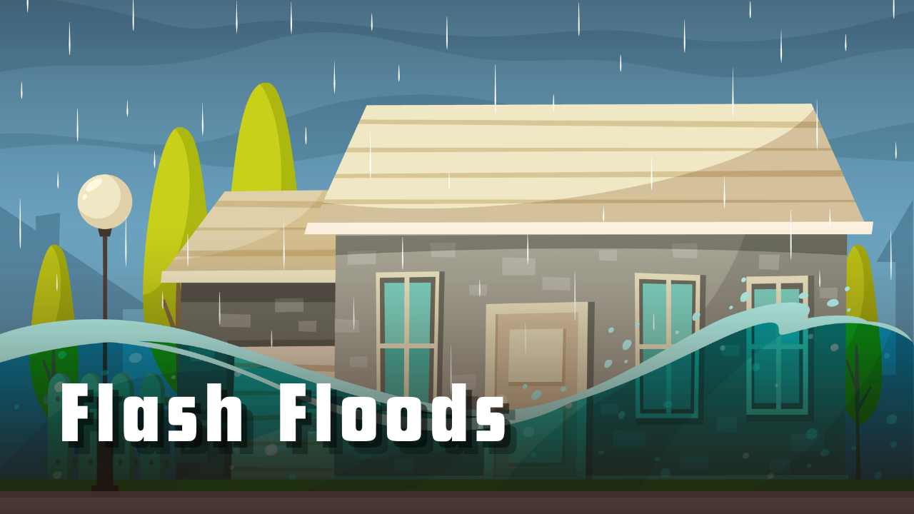
Flash Floods
How can we make our hills safe again?
Context: Recently, a suspected cloudburst in the upper Kheer Ganga catchment triggered flash floods in Dharali village, Uttarkashi, destroying its market, houses, and hotels within 34 seconds, leaving at least four dead and several missing. Similar cloudbursts were reported in Harsil and Sukki Top.
What are flash floods?
- Flash floods are sudden and intense floods that occur within a short time frame, typically within six hours of heavy rainfall, dam failure, or rapid snowmelt.
- They are characterised by rapid onset, high velocity, and short duration, making them extremely dangerous.
- Flash floods can occur in both rural and urban areas, often in low-lying regions, near rivers, or in areas with impermeable surfaces.
What are the major causes of flash floods?
- Natural Triggers:
-
- Cloudburst / Glacier Lake Outburst: Melting glaciers form lakes held by loose moraine dams. These dams can burst suddenly, releasing massive water volumes. Triggered by: Ice avalanches, Earthquakes, and Heavy rainfall
- Fragile Himalayan geology: Steep slopes and mountainous regions accelerate water flow. Valleys and low-lying areas collect runoff quickly. Canyons and gorges can funnel water rapidly, increasing flood intensity.
-
- Climate Change: Rising temperatures accelerate glacier melt and increase extreme weather events. Studies show a spike in flash floods, landslides, and cloudbursts post-2010.
- Anthropogenic Factors:
-
- Unregulated Development: Construction on river floodplains and steep slopes destabilises terrain. Projects like the Char Dham highway have faced criticism for ignoring ecological warnings.
-
- Deforestation: Tree cover loss reduces slope stability and increases surface runoff. It also disrupts local climate regulation and biodiversity.
-
- Tourism Pressure: Over 3.7 million tourists visited Uttarakhand shrines in summer 2025. This leads to waste generation, water stress, and infrastructure overload.
What are the consequences of flash floods?
- Loss of Human Life: Sudden onset leaves little time for evacuation. Over 5,000 deaths annually in India due to flash floods. Recent examples include Uttarkashi (Aug 2025) — at least 4 confirmed deaths, 50+ missing, and scores injured.
- Destruction of Property & Infrastructure: Homes, hotels, roads, and bridges are swept away. In Dharali village, buildings were submerged or destroyed by debris and mudflows. ISRO satellite imagery showed altered river morphology and widened stream channels.
- Agricultural Damage: Crops are destroyed, soil eroded, and fields waterlogged. Flash floods in Kerala’s Wayanad (2024) led to 373 deaths and massive agricultural losses.
- Environmental Impact: River ecosystems disrupted. Sediment and pollutants spread downstream. Glacial terrain destabilised, increasing future risk.
- Economic Losses: Tourism, agriculture, and local businesses suffer. Rebuilding costs strain state budgets. Damages worth ₹9,000 crore were recorded in Himachal Pradesh due to silt and debris between 2022–2025.
What measures can be taken to curb flash floods?
- Structural & Engineering Measures:
- Flood Barriers & Retention Structures: Build levees, embankments, and check dams to control water flow. Elevate buildings in flood-prone zones by at least one meter.
- Urban Drainage & River Restoration: Clean and restore natural drainage channels and rivers. Upgrade stormwater systems in cities to handle intense rainfall.
- Real-Time Monitoring and Satellite Mapping: Install automated weather stations and flood sensors. Use satellite imagery (like ISRO’s Cartosat-2S) for real-time monitoring. Broadcast alerts via SMS, web portals, and radio.
- Flood Forecasting and Early Warning Systems:
-
- Central Water Commission (CWC): Operates 338 forecasting stations across 20 major river basins. These include river level and dam inflow forecast stations.
- 5-Day Advance Forecast Models: Basin-wise rainfall-runoff models help local authorities plan evacuations and mitigation strategies.
- Policy & Community Preparedness:
-
- Zoning & Land Use Planning: Identify and map flash flood hotspots. Restrict development in low-lying and high-risk areas.
- Public Awareness & Training: Conduct mock drills, especially in vulnerable villages. Educate communities on evacuation protocols and first response.
Subscribe to our Youtube Channel for more Valuable Content – TheStudyias
Download the App to Subscribe to our Courses – Thestudyias
The Source’s Authority and Ownership of the Article is Claimed By THE STUDY IAS BY MANIKANT SINGH
